Framing Urban Space
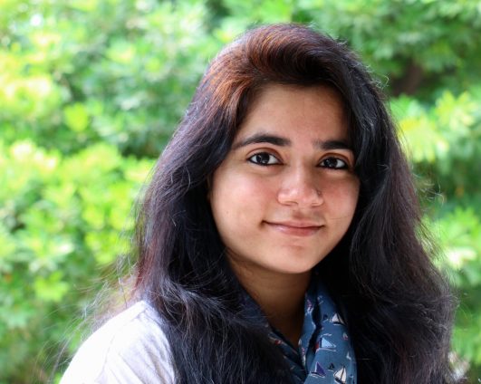
Sonali Sharma – Framing/Unframing Delhi through the lens of the Delhi Metro
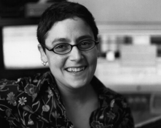
S. Topiary Landberg – Exit Zero
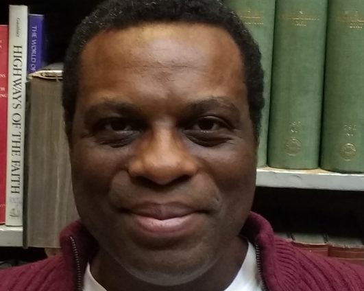
Wayne Medford – Deep Mapping
Framing/Unframing Delhi through the lens of the Delhi Metro
The late 1990s in Delhi saw the everyday urban experience being pervaded by technology. Two
technologies that especially gained ground were media technology and the construction of the
Metro. The expansion of the metro network was divided into three phases, with the third phase
scheduled for completion by 2018 tentatively. This brings us to a significant juncture in time where
there are tremendous possibilities of mapping how the Metro has changed the inhabitants’
imagination of the city – before its diverse narratives of negotiations with and within Delhi fade into
memory with its gradual assimilation within the capital.
Adopting an inter-disciplinary frame, my practice entails the creation of an interactive documentary
project on viewing the city of Delhi through the lens of Delhi Metro. I am producing content
collaboratively with the residents of the city; engaging various audio-visual devices like mobile
video diaries, sound stories, still images, found objects and other digital media. Through this form, I
hope to include multiple voices and alternate points of view, feedback and participation of the city’s
inhabitants – which is a formidable challenge in a cosmopolitan, heterogeneous culture like Delhi.
As a documentary practitioner and a practice-based researcher, I am attempting to employ this
project as a research method towards exploring how the cognitive ‘documentary experience’ can be
expanded to a more physical, emotional and social engagement with the ‘interactant/participant’ and
make interventions towards developing strategies to increase public interactions with documentary
films in India.
The first step involves transforming the Delhi Metro into a storyworld where conversations have
revealed how the Metro has changed the way people see, use and think of the capital. The metro is
perceived by most as a monotonous, continuous, connected space; where you know what to expect
and how to fit in. It is the diversity of people who enliven this space. I am presently excavating
narratives around questions as to how the Metro has changed the landscape of Delhi; how it allows
“strangers” to enter “communities” establishing new routes of circulation; how the different metro
lines connecting the various parts of the capital reflect the city’s inhabitants’ aspirations and
anxieties; the role it has played during protests in the city, the negotiations between public and
private space; the cultural capital being exchanged by commuters and the kind of mobility it offers
to women in particular.
Exit Zero
A work-in-progress presentation about a multi-linear, urban landscape, i-doc: Exit Zero: San Francisco Freeway to the Future currently being developed in Klynt. I will present an over-view of the approaches I am taking in representing a complex historical topic looking at the central San Francisco city block where the on-ramps to a freeway once stood, and where an “interim-use” community garden stood from 2010-2013. Today the site is home to a brand new “green living” apartment development, which to many serves as a symbol of the hyper-gentrification plaguing San Francisco, like many popular cities, today. A microcosm of legacies that racial, social and spatial injustice have played, this site demonstrates the central role which cars play in shaping the urban landscape. How we deal with shifting our relationship to the legacies of racism embedded in city infrastructure is of central consequence.
The history of this one city block, as it has transformed over time from Gold Rush era land grab to diverse immigrant neighborhood to Urban Redevelopment site remade into Freeway exit then an “interim-use” community garden, provides a compelling case-study for a long view of the structures behind gentrification. In providing a history of how the freeway came to be built in the middle of a mid-century African-American neighbourhood, Exit Zero re-animates two almost forgotten chapters of civic opposition to freeway construction known as “The Great Freeway Revolt” (1960s) and the “Second Freeway Revolt” (1990s). These two anti-freeway movements had profound impact on the city’s landscape and its identity as a progressive, environmentalist vanguard and succeeded in changing city policies and urban planning.
Exit Zero will provide users with a variety of aesthetic approaches to historical storytelling, while also functioning as a performative intervention, an opportunity to shift assumptions about this place by taking one or more walking tours of the site, available both as virtual tours and as audio tours to accompany embodied walk tours of the neighbourhood. The i-Doc will also provide a radical archive and site of historical recuperation, asserting the importance of the commons (both as a physical location and as the digital repository). Placing competing narratives about environmental sustainability side by side with discourses about city infrastructure, this i-Doc allows the past to “speak” to the present; using digital media as a provocation for embodied exploration.
Deep Mapping
I am becoming interested in deep mapping, and in reworking the disparate empirical materials from
my thesis into a possible online resource and experience. My thesis was concerned with the life of a
public park in Gateshead over the course of a year, and how it affects people’s health and well-being.
Therapeutic spaces are seen as being everyday spaces. They can also be thought of as assemblagic.
Therefore, they are materially and expressively complex spaces – ones of fluidity, heterogeneity,
always in “states of becoming”, etc. Particular everyday spatial forms that were conceived of,
designed to be, and still prove to be therapeutic, are public parks.
I will discuss year-long fieldwork in a park in Gateshead, north-east England. Various stages of getting
to know the park were conceived as the following: Determining Outlines (its boundaries, its
composition (material and expressive); Inhabitation of the park (navigation through it, and
respondents’ lives within); and, Representing the park (through fieldwork notes, visual methods,
soundscapes and found objects).
To deep map a public park implies a multi-methodological approach, which is polyvocal, which can
capture complex material and expressive qualities, in spaces that are also include the nonhuman, and
are seasonally influenced. Deep mapping is also concerned with telling “stories so far”.
I used a range of methods and techniques were to gather empirical data. I describe scoping the
outlines life within the park, interrogating its diurnal and seasonal cycles; then discuss recruiting
participants who inhabit the park. I have interviews, images, audio, and text, plus found objects. I
then discuss some of the ways in which I could represent inhabiting that space, with respect to diverse
forms, which seek to illustrate space and qualities. Law’s comments of realities working alongside
representations of realities draws attention to juxtaposing sometimes contradictory data.
Deep mapping is also interested in the use of digital technologies to store and tell stories. I am in the
process of seeking IT and possible artistic collaborators to help me with this. I would like to be able
to interweave the material into such a way that one can experience the park in many ways. This could
include walking journeys through the park; narrations; transactional journeys through the day and
year; and historical journeys through particular spaces within the park, as told through personal
stories.